Meeting Objectives
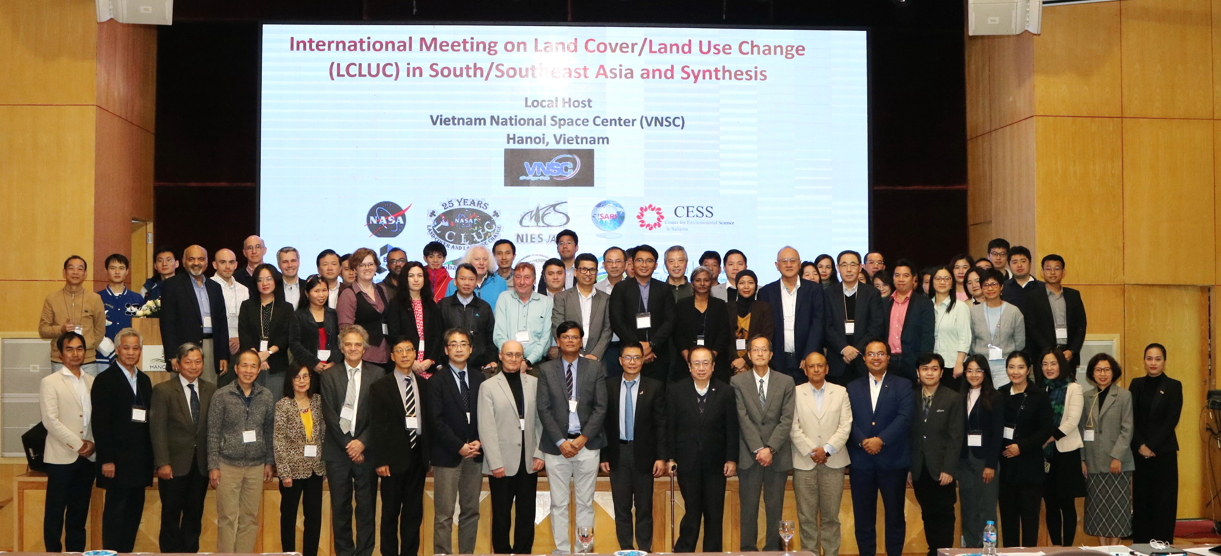
The purpose of this international meeting is to facilitate discussions on Land Cover Land Use Change (LCLUC) and its impacts, focusing regionally on Southeast Asian countries. Most importantly, this meeting will mark the inaugural "kick-off" event for synthesizing various LCLUC issues in the region. The presentations will not only emphasize scientific aspects but also aim to review and synthesize ongoing work from various other projects in the region. The Synthesis presentations will amalgamate diverse pieces of information, research findings, and perspectives on LCLUC-related issues in South/Southeast Asia. The meeting's overarching aim is to create a comprehensive and holistic understanding of various LCLUC issues by examining them from multiple angles, including a) Collating information; b) Employing interdisciplinary approaches; c) Integrating research; d) Identifying key insights, and e) Enhancing collaborations in the region. The meeting seeks to bridge gaps, promote collaborations, and advance knowledge regarding LCLUC issues in the region.
Overview presentations will focus on recent research accomplishments and the state of the art on various LCLUC themes in South/Southeast Asia useful for Synthesizing different topics in the region. The meeting will explore opportunities for coordination and collaboration among research scientists and teams and ongoing projects aimed to advance our understanding of the spatial extent, intensity, social consequences, and impacts on the environment in South/Southeast Asian countries.
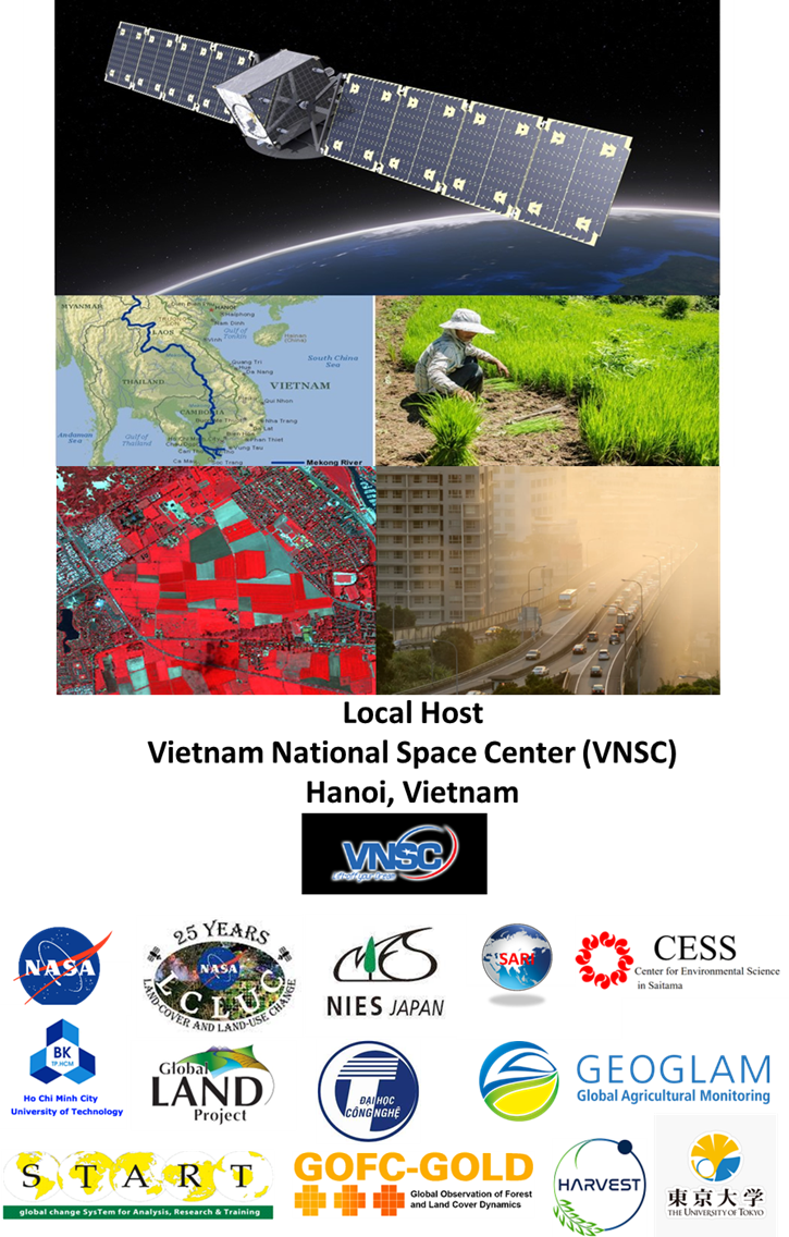
Local host and Venue: Vietnam National Space Center (VNSC), 18B Hoang Quoc Viet St., Hanoi, Vietnam
Local Contact
Dr. Vu Anh Tuan, Vice General Director of VNSC, Vietnam; Email: vatuan@vnsc.org.vn
Training Workshop on Fundamentals of Remote Sensing and Applications
The training workshop will provide a forum to interact with remote sensing experts on forestry, agriculture, and water resources. The focus will be on using both Synthetic Aperture Radar (SAR) and
Optical datasets. The introductory lectures will combine practical training involving basic and advanced methods.
Expected attendees: University students, researchers, Government, and Non-Government
Organizations
Training Dates
-Jan 29-30th, 2024
Training Venue
-Vietnam National Space Center (VNSC), 18B Hoang Quoc Viet St., Hanoi, Vietnam
Meeting Dates
-31st January 1st February and 2nd February, 2024
Meeting Venue
The Hanoi Club – Hotel & Residences
-Hanoi Club Hotel, 76 Yen Phu Str., Tay Ho Dist., Hanoi, Vietnam. (84-24) 3823 8115.
International Steering Committee
Dr. Krishna Prasad Vadrevu, Remote Sensing Scientist, Deputy Program Manager, NASA LCLUC Program (HQ) and SARI Lead, NASA Marshall Space Flight Center, Huntsville, Alabama, USA, Phone: 256-321-9492; and Adjunct Professor, Dept. of Geographical Sciences, University of Maryland College Park, USA; Email: krishna.p.vadrevu@nasa.gov
Dr. Son Van Nghiem, Senior Research Scientist, Jet Propulsion Laboratory, California Institute of Technology, USA; Email: Son.V.Nghiem@jpl.nasa.gov
Dr. Peilei Fan, Department of Urban Environmental Planning and Policy, Tufts University, USA; Email: Peilei.Fan@tufts.edu
Dr. Garik Gutman, Program Manager, NASA Land-Cover/Land-Use Change Program; Landsat Program Scientist, Washington D.C. USA; Email: ggutman@nasa.gov
Dr. Chris Justice, Program Scientist, NASA LCLUC; Science Lead, NASA Harvest; Co-Chair , GEOGLAM ; Department of Geographical Sciences, University of Maryland College Park (UMCP), Maryland, USA; Email: cjustice@umd.edu
Dr. Matsunaga Tsuneo, Head, Center for Environmental Measurement and Analysis (Environmental Information Analysis Section), National Institute for Environmental Studies (NIES), Tsukuba, Japan; Email:matsunag@nies.go.jp
Dr. Toshimasa Ohara, Research Director at Center for Environmental Science in Saitama, Japan and Fellow, National Institute for Environmental Studies (NIES), Tsukuba, Japan; Email: ohara.toshimasa@pref.saitama.
Local Steering Committee
Dr. Vu Anh Tuan, Vice General Director of VNSC, Vietnam; Email: vatuan@vnsc.org.vn
Dr. Lam Dao Nguyen, Vietnam National Space Center, Vietnam Academy of Science and Technology, Ho Chi Minh City, Vietnam; Email: ldnguyen@vnsc.org.vn
Dr. Nguyen Thi Nhat Thanh, Vietnam National University, Vietnam; Email: thanhntn@vnu.edu.vn
Dr. Bui Quang Hung, Director, FIMO Center, VNU University of Engineering and Technology; Email: hungbq@fimo.edu.vn
Local Logistics Support
Ms. Phan Ngoc Phuong Linh
Vietnam National Space Center (VNSC), Hanoi,Vietnam
Email: pnplinh@vnsc.org.vn; mobile: +84 903511818
Agenda
DAY 1 (31st January, Wednesday)
Opening Session-1
Welcome Address – Vu Tuan (Vice Director General, Vietnam National Space Center, Vietnam Academy of Science and Technology, Vietnam)
Welcome Remarks – Garik Gutman (NASA Headquarters, USA)
Welcome Remarks –Chris Justice (NASA LCLUC Program and University of Maryland College Park, USA)
Welcome Remarks –Matsunaga Tsuneo (National Institute of Environmental Studies, Japan)
Welcome Remarks - US Ambassador, Marc Knapper - (Vietnam)
Welcome Remarks - Krishna Vadrevu (NASA Marshall Space Flight Center, USA)
Session-II: Programmatic and Space Agency Presentations: Chair: Chris Justice (NASA LCLUC Program and UMd, USA)
Introductory Keynote Presentation
NASA LCLUC Program Activities in Southeast Asia and Meeting Objectives – Garik Gutman (NASA Headquarters, USA) [GARIK GUTMAN.pdf]
Keynote Presentations
NASA South/Southeast Asia Research Initiative (SARI) Updates – Krishna Vadrevu (NASA MSFC, USA) [KRISHNA.pdf]
Vietnam National Space Center Activities – Vu Tuan (Vietnam National Space Center, Vietnam) [VU ANH TUAN.pdf]
GOSAT-GW Observation of GHGs and Air Pollutants - Tsuneo Matsunaga (National Institute for Environmental Studies (NIES), Japan).[TSUNEO MATSUNAGA.pdf]
SARI- Synthesis Study of Land Cover, Land Use, and Demographic Change under Multi- Dimensional Developments and Climate Pressures in Southeast Asia - Son Nghiem (Jet Propulsion Laboratory, USA) [SON NGHIEM.pdf]
SARI - Decoding Land Transitions across the Urban-Rural Continuums (URC): A Synthesis Study of Patterns, Drivers, and Socioenvironmental Impacts in Southeast Asia - Peilei Fan (Tufts University, USA) [PEILEI FAN.pdf]
Session-III: Land Cover/Land Use Change: Chair: Matsunaga Tsuneo (NIES, Japan) Co-Chair: Lamdao Nguyen (VAST, Vietnam)
Keynote Presentation
GISTDA Space Agency Activities – Tanapat Tanaratkaittikul (GISTDA, Thailand) TANAPAT.pdf]
Atmospheric Correction of Land Remote Sensing Data and Algorithm Updates – Eric Vermote (NASA Goddard Space Flight Center, USA) [ERIC VERMOTE.pdf]
Technical Presentations
LCLUC And Social And Economic Implications Of Industrial Zones In Yangon - Zaw Naing (Mandalay Technology, Myanmar) [ZAW NAING.pdf]
LCLUC in Vietnam and implications – Steve Leisz (Colorado State University, USA) [STEVE LEISZ.pdf]
Creation Of 10-M Resolution LULC Maps For Vietnam From 2017-2022 Using A Time-Feature Convolutional Neural Network - Truong Van Thinh (University Of Tsukuba, Japan) [TRUONG VAN THINH.pdf]
Open-Source Population And Demographic Data: Considerations For Advanced Integration With Remotely Sensed Data - Forrest Stevens And Andrea Gaughan (University Of Louisville, USA) [FORREST STEVENS AND ANDREA GAUGHAN.pdf]
Panel Discussion And Open Forum Session – Needs And Priorities For LCLUC Synthesis Studies Panel Lead: Garik Gutman (NASA HQ); Panel Members: Zaw Naing (Myanmar), Pariwate Varnakodiva (Thailand), Nguyen Hanh Quyen (Vietnam), Heri Andres (Indonesia)
DAY 2 (1st February, Thursday)
Session-IV: Urban Land Cover/Land Use Change: Chair: Son Nghiem (JPL); Co-Chair: Peilei Fan (Tufts University, USA)
Keynote Presentation
Philippines Space Agency Activities - Gay Perez (Philippines Space Agency, The Philippines) [presentation]
Reviving the Urban-Rural Continuum: Navigating Renewed Challenges - Jiquan Chen (Michigan State University, USA) [Jiquan_Chen.pdf]
Technical Presentations
Cambodia Urbanization, Challenges And Potentials - Tep Makathy (Cambodian Institute For Urban Studies, Cambodia) [TEP MAKATHY.pdf]
Monitoring Land Subsidence By Using InSAR technique. Mekong Delta and Ho Chi Minh City case studies- Lê Trung Chơn (Hochiminh City University Of Natural Resources And Environment, Vietnam) [LE TRUNG CHON.pdf]
Quantifying Urban Built-Up Volume With Lidar And Radar - Adam Mathews (Binghamton University, State University Of New York, USA) [ADAM MATHEWS.pdf]
Climate Change And Disaster Risk Reduction In Urban And Coastal Areas: Case Studies In Vietnamese Mekong Delta - Nguyen Thi Thuy Hang (Vietnam Japan University, Vietnam National University, Hanoi) [NGUYEN THI THUY HANG.pdf]
Monitoring the Urban Sprawl of Denpasar-Bali Greater Area based on the Synthetic Aperture Radar (SAR) Data - Putu Edi Yastika (Universitas Mahasaraswati Denpasar, Indonesia) [PUTU EDI YASTIKA.pdf]
Panel Discussion and Open Forum Session – Needs and Priorities for Urban LCLUC Synthesis Studies: Panel Leads: Son Nghiem (JPl, USA) and Peilei Fan (Tufts University, USA); Tep Makarthy (Cambodia), Putu Yastika (Indonesia), Nattiya Korawat (Thailand), Nguyen Thi Thuy Hang (Vietnam)
Session-V: LCLUC, Agriculture and Water Resources: Chair: Chris Justice (University of Maryland College Park)
Keynote Presentation
GEOGLAM and NASA HARVEST Overview – Chris Justice (University of Maryland College Park, USA) [CHRIS JUSTICE.pdf]
Technical Presentations
Satellite Observations of Changes in Agriculture in the Vietnam Mekong Delta under Human and Climate Pressures - Thuy Le Toan (CESBIO/GlobEO, France) [LE TOAN THUY.pdf]
Dynamic LULC Mapping For Agriculture In Suphanburi, Thailand Using ALOS-2/PALSAR-2 - Shindai Kanai (University Of Tsukuba, Japan) [Shindai_Kanai.pdf]
Cropland Mapping Using Landsat Time Series And Land Cover Phenological Pattern Modelling – Nguyen Dinh Duong (Institute Of Geography, VAST, Vietnam) [NGUYEN DINH DUONG.pdf]
Understanding Agricultural Land System By Using Big Remote Sensing Data, Cloud Computing, And Novel Algorithms - Jinwei Dong (Chinese Academy Of Sciences, China) [JINWEI DONG.pdf]
Remote Sensing Applications In Rice Production In The Vietnamese Mekong Delta -Nguyen Lam- Dao (Vietnam National Space Center Vietnam, Vietnam) [LAM DAO NGUYEN.pdf]
Assessing Spatial Patterns Of Environmental Consequences Of Hydro Dams In The Mainland Southeast Asia - Jiaguo Qi (Michigan State University, USA) [JIAGUO QI.pdf]
Panel Discussion And Open Forum Session – Needs And Priorities For Agriculture LCLUC Synthesis Studies. Panel Lead – Chris Justice (UMd). Panel members: Pat Yeh (Malaysia); Lam Dao Nguyen (Vietnam), Tanapat Tanaratkiattikul (Thailand), Hiranori Arai (The Philippines)
DAY 3 (2st February, Thursday)
Session VI. Fires, Greenhouse Gas Emissions, and Pollution: Chair: Krishna Vadrevu (NASA Marshall Space Flight Center, USA) Co-Chair: Vu Tuan (VNSC, Vietnam)
Keynote Presentation
VIIRS Nighttime Fires And Updates – Chris Elvidge (Colorado School Of Mines, USA) [CHRIS ELVIDGE.pdf]
Long-Term Trends Of Anthropogenic Emissions In Asia And Their Validation In Japan - Toshimasa Ohara (Center For Environmental Science In Saitama, Japan) [TOSHIMASA OHARA.pdf]
Technical Presentations
The Utilization Of Pandora Observation Modes For Validating Tropospheric NO2 Vertical Column Derived From The TROPOMI Satellite - Nguyen Doan Thien Chi (NIES, Japan) [NGUYEN DOAN THIEN CHI.pdf]
Quantification Of Fine Particulates Concentrations In Malaysia Using Multiple Satellites Derived AOD And Atmospheric Gases - Kasturi Devi Kanniah (Universiti Teknologi, Malaysia)
PM 2.5 Monitoring System By Using Integration Of Satellite Technology With Artificial Intelligence To Analyze Air Pollution (PM 2.5) For Area-Based Management - Nattiya Korawat (GISTDA, Thailand) [NATTIYA KORAWAT.pdf]
Current Progresses In The Papgapi Project - Chul Min Lee (UN ESCAP, Thailand) [Chul Min Lee.pdf]
Impact Of Air Pollution On Health In Vietnam- Translate Science Evidence To Policy - Nguyễn Thị Trang Nhung (Hanoi University Of Public Health, Vietnam) [NGUYEN THI TRANG NHUNG.pdf]
PM 2.5 Mapping and Monitoring In Vietnam Using Satellite and Ground Based Data - Nguyen Thanh (Vietnam National University Engineering and Technology) [NGUYEN THANH.pdf]
Greenhouse Gas Emissions From Agriculture Land – Atul Jain (University Of Illinois At Urbana Champaign, USA) [ATUL JAIN.pdf]
The State Of The Art Of Digital-Twin Technology For Sustainable Rice Production And GHG Mitigation - Hironori Arai (IRRI, Philippines) [HIRONORI ARAI.pdf]
Frequent Forest Fires Impact Upon Land Use/Cover And Forest Boundaries Over The Last Three Decades: Case In Central Kalimantan, Indonesia - Yenni Vetrita (Research And Innovation Agency (BRIN), Indonesia) [YENNI VETRITA.pdf]
An Application Of WebGIS Development For Carbon Offsetting In Laos – Pathoumvanh Somsanouk (National University Of Laos, Laos) [Somsanouk.pdf]
Panel Discussion And Open Forum Session – Needs And Priorities For Atmosphere and LCLUC Synthesis Studies. Panel Lead – Krishna Vadrevu (NASA MSFC); Nguyen Thi Nhat Thanh (Vietnam); Kasturi Kanniah (Malaysia), Yenni Vetrita (Indonesia), Pathoumvanh Somsanouk (Laos)
Session VII. Discussion Session on Synthesis: Chair: Chris Justice (UMd) Co-Chair: Krishna Vadrevu (NASA MSFC, USA)
Meeting Outputs – Krishna Vadrevu (NASA Marshall Space Flight Center, USA)
Vote Of Thanks – Garik Gutman (NASA Headquarters), Chris Justice (UMd) And Krishna Vadrevu (NASA MSFC)
Adjourn