There are two defining characteristics of water in Central Asia. One is the endorheic nature of the region: Central Asia’s rivers either enter terminal lakes that lack outlets or they simply disappear before reaching any larger water body. Evaporation and infiltration exceed precipitation in the arid plains. This leads to the second defining characteristic: the region’s unusual dependence on precipitation that falls at high elevations. Some of this water is retained in glaciers, but much of it flows down to the arid, more heavily populated lower elevations. Climate change, glacial retreat, dam construction, water use for irrigation, and infrastructure development have significantly altered hydrological processes in the region, imposing a major threat to water-energy-food (WEF) security. The additional character was the dissolution of the Soviet Union in 1991, before which resources utilization was coordinated to balance water-energy-food through centralized governance. Independence allowed the individual states to monetize rather than trade their resources across international boundaries. In the face of these threats, the region is facing a number of outstanding challenges:
- Where are land-cover and land-use changes occurring in Central Asia and Caucasus countries? What is the extent and over what time scale? How do the changes vary from year to year?
- What are the causes of land use/cover changes in Central Asian and Caucasus countries? How are they impacting Water-Energy-Food (WEF) security in the region?
- How can we best develop sustainable pathways for the WEF systems in light of rapid climatological and differential socioeconomic changes?
- What geospatial technological tools, information, and knowledge do we have/need to assist decision-makers to achieve sustainable goals?
- How can underlying ecosystems best be managed to achieve long term sustainability?
The above questions are relevant in Caucasus region too. The workshop will have a combination of talks and discussions on both Central Asia and Caucasus regions.
Meeting Objectives
- To present the state-of-the-art remote sensing methods and technologies to quantify the spatial and temporal dynamics of natural resources including land, water, soil, and environment;
- To present ongoing research on the understanding of the underlying drivers and socioeconomic consequences;
- To explore regional synergies in collaborative efforts to holistically address the regional issues through Central Asia Regional Information Network (CARIN) and Caucasus Regional Information Network (CaucRIN).
- To build regional capacities in the use of advanced observations, models, and theories to develop resources information base for long-term sustainable development in the region;
Meeting Topics
- Remote Sensing of Land Use/Cover Changes
- Water-Energy-Food security linkages
- Agriculture remote sensing (crop mapping, monitoring, yield prediction, and modeling)
- Water resources (mapping, monitoring, and dynamics)
- Arid land ecosystem dynamics
- Socioeconomics and Sustainable development in Central Asian countries
Targeted Outcomes
- Strengthen regional research and collaborations
- Re-establish CARIN leadership and revive activities in the region.
- A white paper to set research agenda for funding agencies such as ADB, UNDP, IFC, the World Bank and EBRD
- Enhance CaucRIN activities.
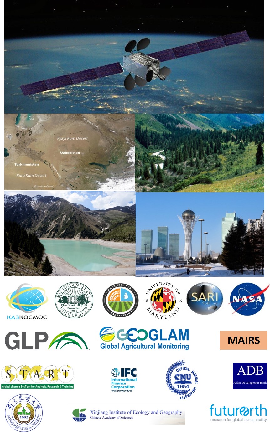
International Partners
- Kazakhstan Space Agency, Astana, Kazakhstan
- AgriTech Hub, Almaty, Kazakhstan
- Asian Development Bank (ADB)
- International Finance Corporation (IFC)
- Monsoon Asia Integrated Research for Sustainability (MAIRS-FE)
- Future Earth NEXUS KAN
- Nanjing Agricultural University (NAU), China
- Capital Normal University, China
- Xinjiang Institute of Ecology and Geography (XIEG), CAS, China
- Michigan State University (MSU), USA
- University of Maryland College Park, USA
- South/Southeast Asia Research Initiative (SARI)
- GLP North American Nodal Office, MSU, USA
- NASA LCLUC
- START
International Organizing Committee
- Marat Beksultanov AgriTech Hub, Kazakhstan (Chair)
- Giovanni Capanelli, Country Director (ADB)
- Jiaguo Qi, Michigan State University, USA
- Wei Wan, MAIRS-FE, China
- Garik Gutman, NASA LCLUC, USA
- Chris Justice, University of Maryland College Park, USA
- Krishna Vadrevu, NASA Marshall Space Flight Center, USA
- Pasha Groisman, UCAR, North Carolina State University, USA
Remote Sensing and Geospatial Training Workshops
A two-day hands-on training session for young researchers will focus on the use of remote sensing and geographic information systems (GIS) for land cover/land use change applications involving both optical and Synthetic Aperture Radar (SAR) data. Participants are expected to bring their own Laptops. Mostly, the training will focus on using some open source software tools.
Training Dates
19-20th September, 2019