NISAR (NASA-ISRO SAR Mission)
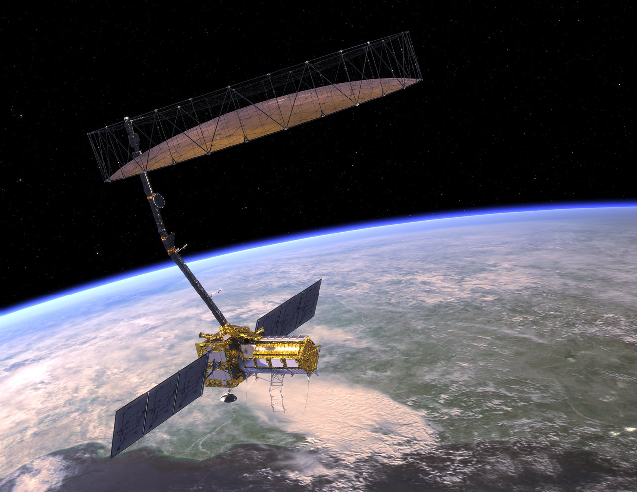
The NASA-ISRO SAR (NISAR) is a joint project between NASA and ISRO, with contributions from other agencies and organizations in the US and India. The NISAR mission will measure Earth’s changing ecosystems, dynamic surfaces, and ice masses providing information about biomass, natural hazards, sea level rise, and groundwater, and will support a host of other applications. NISAR will observe Earth’s land and ice-covered surfaces globally with 12-day regularity on ascending and descending passes, sampling Earth on average every 6 days for a baseline 3-year mission. NISAR will use a synthetic aperture radar (SAR) instrument to capture radar images of the Earth's surface. SAR technology allows for high-resolution imaging regardless of weather conditions or time of day. NISAR will also use a dual-frequency radar system, which will provide additional information about the Earth's surface and subsurface properties. The data collected by NISAR will be freely available to researchers, scientists, and other users around the world. This will allow for a wide range of applications, from scientific research to practical applications such as land use planning and disaster response. NISAR is expected to launch in early 2024. Mor information https://nisar.jpl.nasa.gov/